


Brazil Data Cube: satellite image data cubes and time series analysis for land use and land cover mapping
Karine Ferreira
Brazilian National Institute for Space Research (INPE)
30 de Abril, Terça-feira, 12h30m às 13h30m
Salão Nobre do Instituto Superior de Agronomia
This talk will present an overview of the Brazil Data Cube project developed by Brazilian National Institute for Space Research (INPE). INPE is the main federal research institute in Brazil in Earth Observation (EO) and Space Sciences. Since 1988, INPE has been leading environmental monitoring programs that produce official information for the Brazilian government, including deforestation, fires and land use and land cover data. The main goal of the Brazil Data Cube project is to produce innovative methodologies for these programs by using big data technologies, machine learning and satellite image time series analysis.
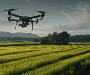
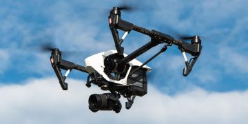
The Brazil Data Cube project is producing 2 petabytes of Analysis-Read Data (ARD) and multidimensional EO data cubes of satellite images Landsat-8/-9, Sentinel-2, CBERS-4/-4A and Amazonia for the entire Brazilian territory. Besides that, it is developing software tools to deal with big data sets, to extract image time series from EO data cubes and to produce land use and land cover information using machine learning and satellite image time series analysis.
Karine Ferreira is PhD in Applied Computing and works at the Brazilian National Institute for Space Research (INPE), with research and development in Geoinformatics, coordinating innovative projects in this area such as TerraBrasilis and Brazil Data Cube (http://brazildatacube.org/). She is the head of the Earth Observation and Geoinformatics Division at INPE. She is professor of the Postgraduate Course in Applied Computing at INPE and her main research line is representation, processing and analysis of spatiotemporal and big Earth observation data, focusing on satellite image time series analysis